Lake Minnetonka Waterfront Homes Guide
7 min read · Published July 17, 2026 · By Bryce Caldwell
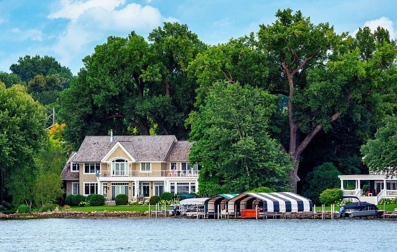
Before buying a Lake Minnetonka waterfront home, verify the dock permit, municipal shoreland and zoning requirements, legal water access, flood information, sewage disclosure, and address-specific property records. Lake Minnetonka is governed across 14 bordering municipalities in two counties, so a waterfront feature or rule that works at one address cannot be assumed at another.
At a glance
Guide highlights
- Lake Minnetonka borders 14 municipalities in two counties, making waterfront due diligence address-specific.
- New or modified permanent docks require an LMCD permit; certain permanent docks that existed on May 5, 1982 may qualify for a legacy exception, and changes require a new permit.
- The LMCD Code generally limits dock-use area to 100 feet lakeward and restricted-watercraft density to one per 50 feet of continuous shoreline, while local restrictions may be stricter.
What should I verify before buying a Lake Minnetonka waterfront home?
Before buying a Lake Minnetonka waterfront home, verify the existing dock's LMCD permit status or legacy exception, the municipality's shoreland and zoning requirements, the property's legal route to the water, FEMA flood information, the seller's sewage disclosure, and county property records. These checks are address-specific because Lake Minnetonka borders 14 municipalities across two counties.
Start with the property itself rather than a general description of the bay or shoreline. The Lake Minnetonka Conservation District coordinates the lake across municipal boundaries, while the Minnesota Department of Natural Resources says shoreland standards are local and buyers must verify municipal zoning.
Use this as a due-diligence list, not a substitute for the officials and documents that apply to the specific address. The existing guides The Best Bays to Buy On Lake Minnetonka: A Bay-by-Bay Guide and Lake Minnetonka Public Boat Launches can help frame how the lake is used, but they do not replace an address review.
| Property item | Verify | Evidence | Who confirms | Why it matters |
|---|---|---|---|---|
| Permanent residential dock | LMCD permit status, legacy exception, and any planned change to size, type, location, or configuration | LMCD permit record or documentation supporting a legacy exception | Lake Minnetonka Conservation District | New or modified permanent docks require an LMCD permit; certain pre-May 5, 1982 docks may qualify for a legacy exception |
| Dock-use area and watercraft density | Lakeward extent, shoreline measurement, and any stricter local rule | LMCD Code and address-specific review | LMCD and the municipality | The general dock-use area is 100 feet lakeward and the general density is one restricted watercraft per 50 feet of continuous shoreline |
| Shoreland work | Municipal shoreland standards, zoning, and whether permits are needed | Municipal zoning response and applicable permit guidance | Municipal zoning authority and, where applicable, the DNR | Minnesota shoreland standards are local, and other shoreland work may require permits |
| Water access | The property's actual legal route to the water | Property documents for the address | Appropriate transaction professionals | Public water does not create a right to cross private property |
| Flood, sewage, and county records | FEMA flood information, seller sewage disclosure, and Hennepin County record when applicable | FEMA map result, seller disclosure, and county property search | FEMA, seller, and Hennepin County | These are address-specific checks before closing |
What dock rules apply to a Lake Minnetonka waterfront home?
A new or modified permanent residential dock on Lake Minnetonka requires an LMCD permit. Certain permanent docks that existed on May 5, 1982 may continue under the LMCD Code's legacy exception, while a change to a dock's size, type, location, or configuration requires a new permit. The Code generally limits dock-use area to 100 feet lakeward, but site conditions differ and local restrictions may be stricter.
The LMCD Code also generally limits restricted-watercraft density to one per 50 feet of continuous shoreline. That is a general rule, not a shortcut around the specific permit, shoreline, or municipal review for a property.
Ask to see the permit record for the dock that is there now, then compare it with the configuration you expect to use. If a buyer plans a change, confirm the permit path before treating that change as part of the purchase decision.
Who sets shoreland and zoning rules around Lake Minnetonka?
Municipal governments set the shoreland standards and zoning requirements a Lake Minnetonka buyer must verify for a specific address. The Minnesota DNR states that shoreland standards are local, and it notes that work in public waters or on the shoreland may require permits in addition to local review.
That division of responsibility matters on a lake that reaches 14 municipalities in two counties. Do not carry a conclusion from one town, lot, or shoreline project to another address.
Bring the property's intended use to the municipal zoning authority early, especially when the plan involves shoreland work. The DNR's permit guidance identifies docks and other shoreland work as separate permit questions, so a local zoning answer is not automatically the entire answer.
Does Lake Minnetonka waterfront property include access to the water?
No. The Minnesota DNR states that public water does not create a right to cross private property to reach it, so a Lake Minnetonka waterfront buyer must verify the property's actual legal access rather than assuming the water's public status supplies a route.
Review the property documents for the particular address and ask the appropriate transaction professionals to confirm what they show. This is especially important where the shoreline, neighboring land, or access route is not obvious from the street.
Public-access information answers a different question. The guide Lake Minnetonka Public Boat Launches is useful for researching public launch options, but a public launch does not establish a right to cross private property.
How do I check flood, sewage, and property records before closing?
Check the address in FEMA's Flood Map Service Center, obtain the seller's sewage disclosure required by Minnesota law, and use Hennepin County's Property Information Search when the property is in Hennepin County. Each source is address-specific, so use the exact property rather than a nearby lakefront address.
Minnesota Statutes section 115.55 requires a seller to provide a disclosure regarding the property's sewage treatment system. Include that disclosure in the documents you review before closing.
For a Hennepin County property, the county's property-information search is an additional address-level research source. For flood information, FEMA's map service is the starting point to check the property address.
Bryce’s take
I tell waterfront buyers to slow down before they fall for the view. On Lake Minnetonka, the dock, shoreland rules, access, flood information, and sewage disclosure can change what a property really supports, so I want those answers tied to the exact address before a buyer commits.

Key takeaways
- Lake Minnetonka borders 14 municipalities in two counties, making waterfront due diligence address-specific.
- New or modified permanent docks require an LMCD permit; certain permanent docks that existed on May 5, 1982 may qualify for a legacy exception, and changes require a new permit.
- The LMCD Code generally limits dock-use area to 100 feet lakeward and restricted-watercraft density to one per 50 feet of continuous shoreline, while local restrictions may be stricter.
- Minnesota DNR says shoreland standards are local; buyers must verify municipal zoning, and other shoreland work may require permits.
- Public water does not create a right to cross private property; buyers should verify legal access for the specific waterfront address.
Frequently asked questions
Do I need a permit for a dock on Lake Minnetonka?
How far can a dock extend into Lake Minnetonka?
Does Lake Minnetonka waterfront property include access to the water?
How do I check if a Lake Minnetonka property is in a flood zone?
Sources and verification
- Lake Minnetonka Conservation District - About LMCD
- Lake Minnetonka Conservation District - Code of Ordinances, effective January 1, 2025
- Minnesota DNR - Lake shoreland classifications and local standards
- Minnesota DNR - Docks and permits
- Minnesota DNR - Public waters permit information
- Minnesota DNR - Water access and private property
- Minnesota Statutes section 115.55 - Subsurface sewage treatment systems
- FEMA - Flood Map Service Center
- Hennepin County - Property Information Search
Written by
Bryce Caldwell is a RE/MAX Advantage Plus agent who knows the Lake Minnetonka corridor and the Twin Cities west metro. Full-time since 2022 with a 5.0 rating across 27 reviews, he gives buyers and sellers honest, no-pressure guidance — and writes these guides.
Explore these areas
- Wayzata, MN real estateWalkable downtown, lake access two blocks from dinner, and the #1 school district in Minnesota.
- Orono, MN real estateWooded acreage and private drives on the north shore. The west metro's quiet ceiling.
- Deephaven, MN real estateOld-growth lanes and dock rights minutes from the channel. Established and quiet.
- Minnetonka, MN real estateMature, leafy, and central — the reliable move-up address with the 276 schools.
- Excelsior, MN real estateA true village on the water — porches, sailboats, and patio suppers walkable from home.
- Shorewood, MN real estateQuiet, wooded, and next to Excelsior — the 276 schools with a little more yard.
- Minnetrista, MN real estateThe rural west edge of the lake — acreage, new construction, and room to breathe.
Keep reading
More west metro guides

Moving to Deephaven, MN — 276 Schools, Dock Rights
Lake Minnetonka's 276 schools and real lake access without paying for private shoreline — an established seven-figure town where deeded dock rights are the detail to check first.
7 min read · July 2026
Moving to Excelsior, MN — Walkable Lake Life
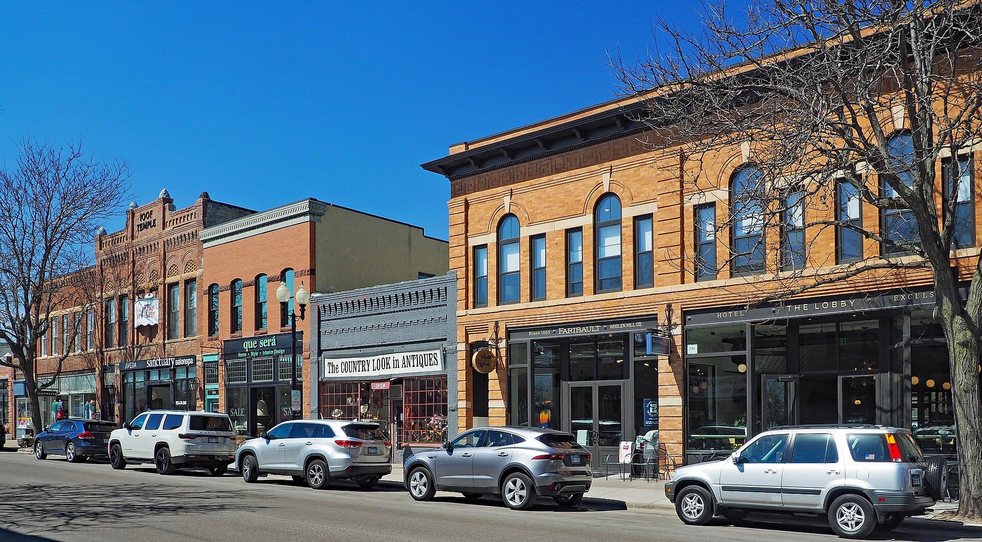
Lake Minnetonka's walkable village on the south shore — Water Street, a public beach, and the Minnetonka 276 schools for real money less than Wayzata.
7 min read · July 2026

Moving to Minnetonka, MN — More House, Top Schools
The west metro's value play for move-up families: top-ranked ISD 276 schools, an easy I-394 commute, and far more house per dollar than the lakefront towns.
7 min read · July 2026